


Lyas la Neuve azur

alinetpierre
User
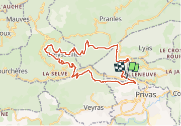

Length
20 km

Max alt
665 m

Uphill gradient
764 m
Km-Effort
31 km

Min alt
281 m

Downhill gradient
760 m
Boucle
Yes
Creation date :
2025-07-26 06:57:59.0
Updated on :
2025-07-27 17:01:30.887
6h56
Difficulty : Very difficult

FREE GPS app for hiking
 SityTrail
IGN / Geographical institutes
SityTrail Plus
The world is yours!
About
Trail Walking of 20 km to be discovered at Auvergne-Rhône-Alpes, Ardèche, Lyas. This trail is proposed by alinetpierre.
Description
Reco azur très belle randonnée vers privas
Photos


Positioning
Country:
France
Region :
Auvergne-Rhône-Alpes
Department/Province :
Ardèche
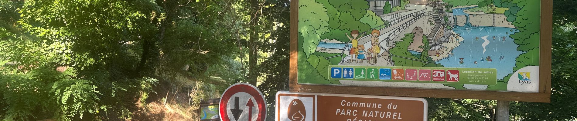
Municipality :
Lyas
Location:
Unknown
Start:(Dec)
Start:(UTM)
625545 ; 4955635 (31T) N.
Comments