


Coux Jaubernie Serre Gruas Azur

alinetpierre
User
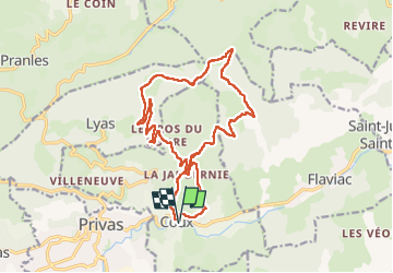

Length
19.1 km

Max alt
808 m

Uphill gradient
741 m
Km-Effort
29 km

Min alt
194 m

Downhill gradient
744 m
Boucle
Yes
Creation date :
2025-07-27 07:23:13.0
Updated on :
2025-07-27 17:19:54.41
6h34
Difficulty : Very difficult

FREE GPS app for hiking
 SityTrail
IGN / Geographical institutes
SityTrail Plus
The world is yours!
About
Trail Walking of 19.1 km to be discovered at Auvergne-Rhône-Alpes, Ardèche, Coux. This trail is proposed by alinetpierre.
Description
Reco azur ,
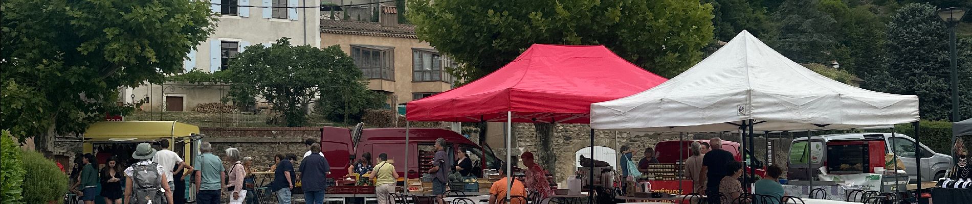
Photos


Positioning
Country:
France
Region :
Auvergne-Rhône-Alpes
Department/Province :
Ardèche
Municipality :
Coux
Location:
Unknown
Start:(Dec)
Start:(UTM)
628551 ; 4954869 (31T) N.
Comments