


3 frontières boucle de 11 km

cravattep
User
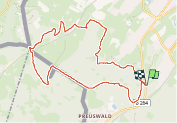

Length
11.1 km

Max alt
350 m

Uphill gradient
287 m
Km-Effort
14.9 km

Min alt
238 m

Downhill gradient
286 m
Boucle
Yes
Creation date :
2025-07-27 10:32:58.228
Updated on :
2025-07-27 15:22:17.386
1h57
Difficulty : Easy

FREE GPS app for hiking
 SityTrail
IGN / Geographical institutes
SityTrail Plus
The world is yours!
About
Trail Walking of 11.1 km to be discovered at North Rhine-Westphalia, Städteregion Aachen, Aachen. This trail is proposed by cravattep.
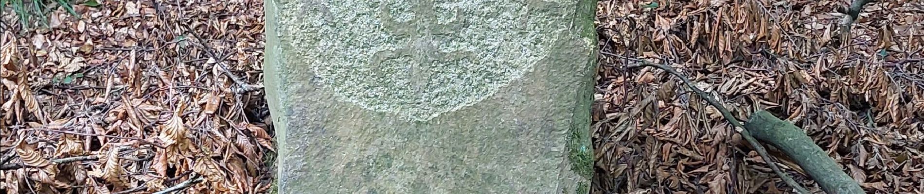
Photos

Positioning
Country:
Germany
Region :
North Rhine-Westphalia
Department/Province :
Städteregion Aachen
Municipality :
Aachen
Location:
Aachen-Mitte
Start:(Dec)
Start:(UTM)
292739 ; 5625678 (32U) N.
Comments