


mon tour de valence

stef789
User GUIDE
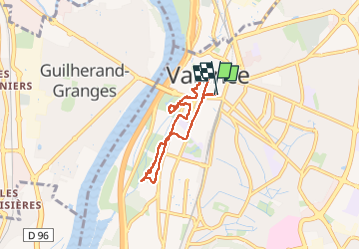

Length
7 km

Max alt
138 m

Uphill gradient
61 m
Km-Effort
7.8 km

Min alt
106 m

Downhill gradient
61 m
Boucle
Yes
Creation date :
2025-07-27 12:10:40.025
Updated on :
2025-07-27 15:56:47.509
3h45
Difficulty : Medium

FREE GPS app for hiking
 SityTrail
IGN / Geographical institutes
SityTrail Plus
The world is yours!
About
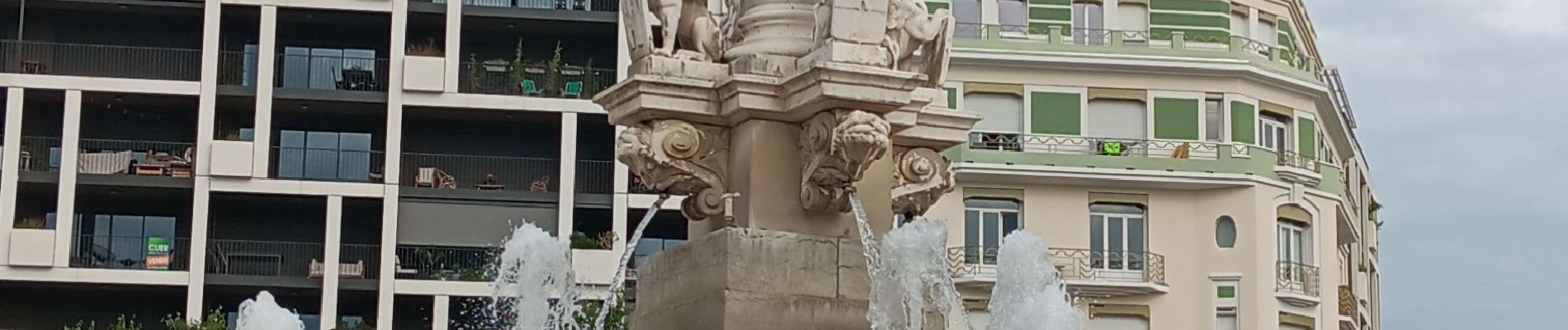
Trail Walking of 7 km to be discovered at Auvergne-Rhône-Alpes, Drôme, Valence. This trail is proposed by stef789.
Photos


47 photos in total. Please click on a photo to see them all in the gallery.
Positioning
Country:
France
Region :
Auvergne-Rhône-Alpes
Department/Province :
Drôme
Municipality :
Valence
Location:
Unknown
Start:(Dec)
Start:(UTM)
649389 ; 4976995 (31T) N.
Comments