


GRPCV 02

c.chehere
User

Length
12.5 km

Max alt
183 m

Uphill gradient
212 m
Km-Effort
15.7 km

Min alt
22 m

Downhill gradient
321 m
Boucle
No
Creation date :
2025-07-28 06:16:56.049
Updated on :
2025-07-28 13:04:05.049
3h34
Difficulty : Difficult

FREE GPS app for hiking
 SityTrail
IGN / Geographical institutes
SityTrail Plus
The world is yours!
About
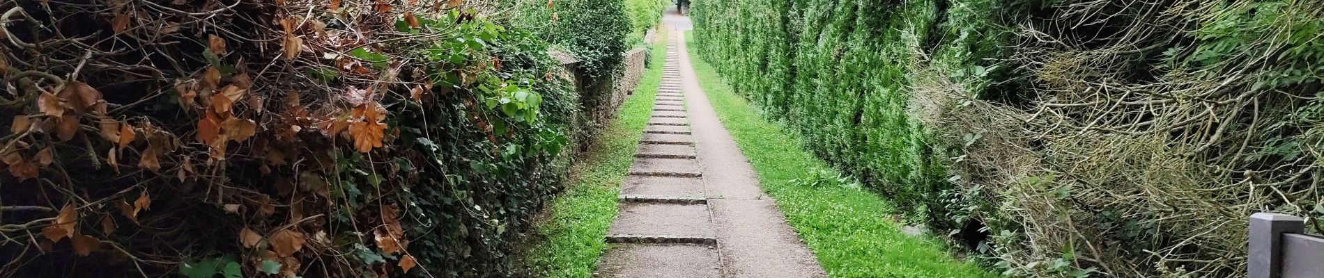
Trail Walking of 12.5 km to be discovered at Ile-de-France, Yvelines, L'Étang-la-Ville. This trail is proposed by c.chehere.
Photos


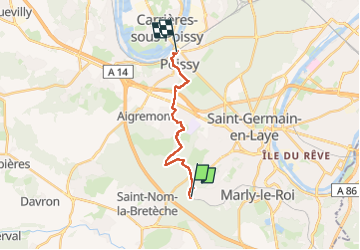
Positioning
Country:
France
Region :
Ile-de-France
Department/Province :
Yvelines
Municipality :
L'Étang-la-Ville
Location:
Unknown
Start:(Dec)
Start:(UTM)
430393 ; 5413182 (31U) N.
Comments