


Rando Grospierres

Tommy Eric
User
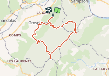

Length
18.9 km

Max alt
546 m

Uphill gradient
605 m
Km-Effort
27 km

Min alt
132 m

Downhill gradient
600 m
Boucle
Yes
Creation date :
2025-08-01 06:29:31.233
Updated on :
2025-08-01 13:27:20.974
6h57
Difficulty : Medium

FREE GPS app for hiking
 SityTrail
IGN / Geographical institutes
SityTrail Plus
The world is yours!
About
Trail Walking of 18.9 km to be discovered at Auvergne-Rhône-Alpes, Ardèche, Grospierres. This trail is proposed by Tommy Eric.
Description
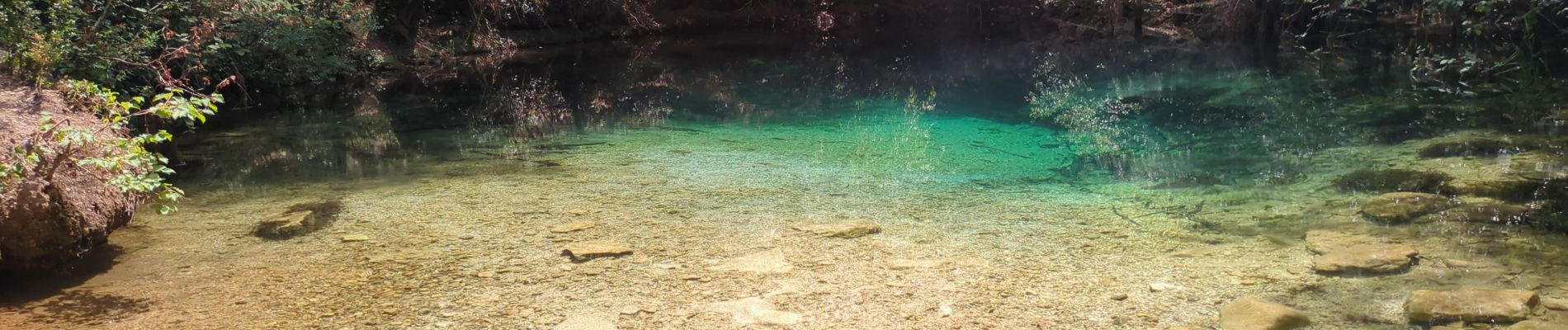
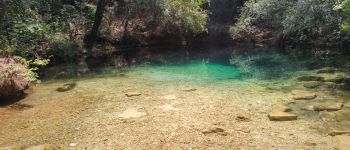
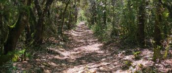
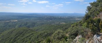
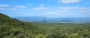
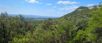
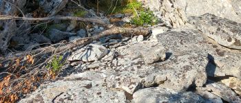
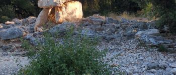
superbe randonnée avec point de vue à 360 ° , sous bois, dolmens, résurgence.
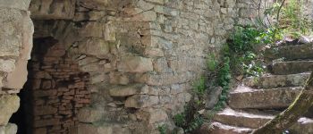
Photos


Points of interest

Positioning
Country:
France
Region :
Auvergne-Rhône-Alpes
Department/Province :
Ardèche
Municipality :
Grospierres
Location:
Unknown
Start:(Dec)
Start:(UTM)
603956 ; 4917642 (31T) N.
Comments