


Chartres de Bretagne

nolsim
User
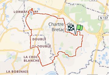

Length
10.3 km

Max alt
45 m

Uphill gradient
64 m
Km-Effort
11.2 km

Min alt
24 m

Downhill gradient
64 m
Boucle
Yes
Creation date :
2025-08-03 12:47:57.82
Updated on :
2025-08-03 15:12:05.376
2h23
Difficulty : Easy

FREE GPS app for hiking
 SityTrail
IGN / Geographical institutes
SityTrail Plus
The world is yours!
About
Trail Walking of 10.3 km to be discovered at Brittany, Ille-et-Vilaine, Chartres-de-Bretagne. This trail is proposed by nolsim.
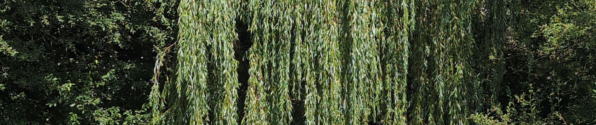
Photos


Positioning
Country:
France
Region :
Brittany
Department/Province :
Ille-et-Vilaine
Municipality :
Chartres-de-Bretagne
Location:
Unknown
Start:(Dec)
Start:(UTM)
596909 ; 5321590 (30U) N.
Comments