


araches lac de lairon

ISAGIL
User
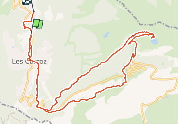

Length
17.1 km

Max alt
1771 m

Uphill gradient
749 m
Km-Effort
27 km

Min alt
1041 m

Downhill gradient
788 m
Boucle
No
Creation date :
2025-08-03 09:10:02.329
Updated on :
2025-08-03 16:05:46.387
5h58
Difficulty : Very difficult

FREE GPS app for hiking
 SityTrail
IGN / Geographical institutes
SityTrail Plus
The world is yours!
About
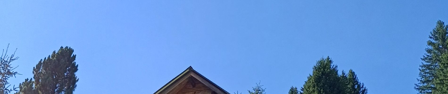
Trail Walking of 17.1 km to be discovered at Auvergne-Rhône-Alpes, Upper Savoy, Arâches-la-Frasse. This trail is proposed by ISAGIL.
Photos


Positioning
Country:
France
Region :
Auvergne-Rhône-Alpes
Department/Province :
Upper Savoy
Municipality :
Arâches-la-Frasse
Location:
Unknown
Start:(Dec)
Start:(UTM)
317296 ; 5100293 (32T) N.
Comments