


plate

ISAGIL
User
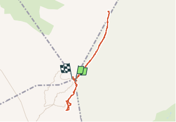

Length
3.9 km

Max alt
2482 m

Uphill gradient
127 m
Km-Effort
5.6 km

Min alt
2389 m

Downhill gradient
124 m
Boucle
Yes
Creation date :
2025-08-04 09:26:50.749
Updated on :
2025-08-04 12:54:12.856
3h26
Difficulty : Easy

FREE GPS app for hiking
 SityTrail
IGN / Geographical institutes
SityTrail Plus
The world is yours!
About
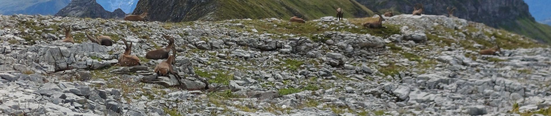
Trail Walking of 3.9 km to be discovered at Auvergne-Rhône-Alpes, Upper Savoy, Sixt-Fer-à-Cheval. This trail is proposed by ISAGIL.
Photos


Positioning
Country:
France
Region :
Auvergne-Rhône-Alpes
Department/Province :
Upper Savoy
Municipality :
Sixt-Fer-à-Cheval
Location:
Unknown
Start:(Dec)
Start:(UTM)
323613 ; 5094800 (32T) N.
Comments