


mss larrieu et le tech

stef789
User GUIDE
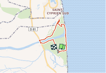

Length
6.2 km

Max alt
4 m

Uphill gradient
17 m
Km-Effort
6.4 km

Min alt
-2 m

Downhill gradient
16 m
Boucle
Yes
Creation date :
2025-08-05 12:00:11.676
Updated on :
2025-08-05 14:32:40.91
2h32
Difficulty : Very easy

FREE GPS app for hiking
 SityTrail
IGN / Geographical institutes
SityTrail Plus
The world is yours!
About
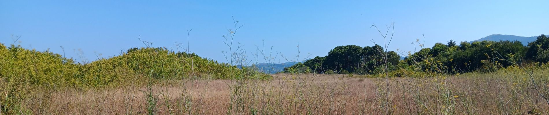
Trail Walking of 6.2 km to be discovered at Occitania, Pyrénées-Orientales, Argelès-sur-Mer. This trail is proposed by stef789.
Photos


25 photos in total. Please click on a photo to see them all in the gallery.
Positioning
Country:
France
Region :
Occitania
Department/Province :
Pyrénées-Orientales
Municipality :
Argelès-sur-Mer
Location:
Unknown
Start:(Dec)
Start:(UTM)
503314 ; 4714291 (31T) N.
Comments