


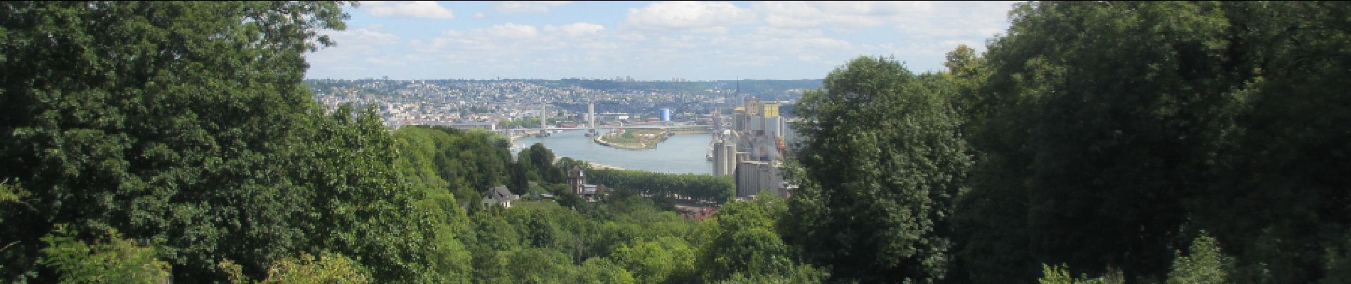
20150806-Canteleu

doudet
User
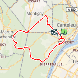

Length
14.8 km

Max alt
135 m

Uphill gradient
249 m
Km-Effort
18.2 km

Min alt
38 m

Downhill gradient
251 m
Boucle
Yes
Creation date :
2016-03-09 00:00:00.0
Updated on :
2016-03-09 00:00:00.0
3h57
Difficulty : Medium

FREE GPS app for hiking
 SityTrail
IGN / Geographical institutes
SityTrail Plus
The world is yours!
About
Trail Walking of 14.8 km to be discovered at Normandy, Seine-Maritime, Canteleu. This trail is proposed by doudet.
Photos

Positioning
Country:
France
Region :
Normandy
Department/Province :
Seine-Maritime
Municipality :
Canteleu
Location:
Unknown
Start:(Dec)
Start:(UTM)
357053 ; 5478306 (31U) N.
Comments