


gorges de la Aguilera . mas pla . tetour par les ruines et Rodes

stef789
User GUIDE
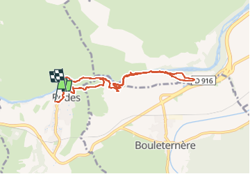

Length
9.3 km

Max alt
300 m

Uphill gradient
208 m
Km-Effort
12 km

Min alt
153 m

Downhill gradient
180 m
Boucle
No
Creation date :
2025-08-08 12:02:18.979
Updated on :
2025-08-08 16:52:38.679
4h49
Difficulty : Medium

FREE GPS app for hiking
 SityTrail
IGN / Geographical institutes
SityTrail Plus
The world is yours!
About
Trail Walking of 9.3 km to be discovered at Occitania, Pyrénées-Orientales, Rodès. This trail is proposed by stef789.
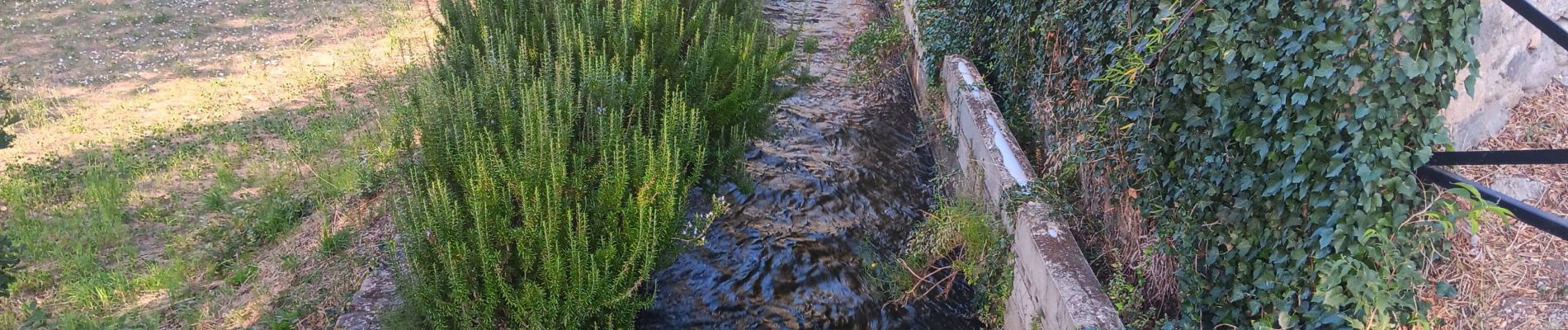
Photos


41 photos in total. Please click on a photo to see them all in the gallery.
Positioning
Country:
France
Region :
Occitania
Department/Province :
Pyrénées-Orientales
Municipality :
Rodès
Location:
Unknown
Start:(Dec)
Start:(UTM)
463883 ; 4722795 (31T) N.
Comments