


laroque . canal d'irrugation . casot d'en lic . retour

stef789
User GUIDE
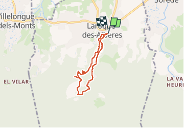

Length
6.2 km

Max alt
313 m

Uphill gradient
229 m
Km-Effort
9.3 km

Min alt
107 m

Downhill gradient
229 m
Boucle
Yes
Creation date :
2025-08-12 14:24:07.852
Updated on :
2025-08-12 17:47:14.876
3h21
Difficulty : Medium

FREE GPS app for hiking
 SityTrail
IGN / Geographical institutes
SityTrail Plus
The world is yours!
About
Trail Walking of 6.2 km to be discovered at Occitania, Pyrénées-Orientales, Laroque-des-Albères. This trail is proposed by stef789.
Description
38° c'est beaucoup...
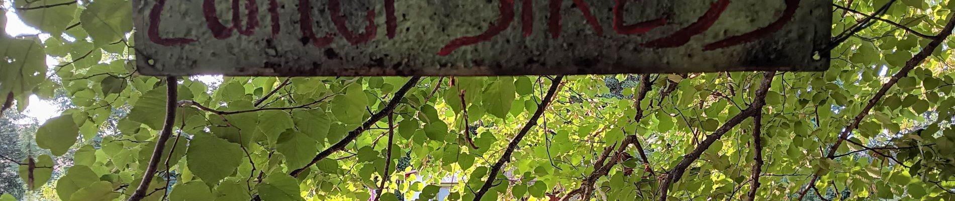
Photos


32 photos in total. Please click on a photo to see them all in the gallery.
Positioning
Country:
France
Region :
Occitania
Department/Province :
Pyrénées-Orientales
Municipality :
Laroque-des-Albères
Location:
Unknown
Start:(Dec)
Start:(UTM)
494831 ; 4707728 (31T) N.
Comments