


pointe de tierce

geoffrayLayeux
User
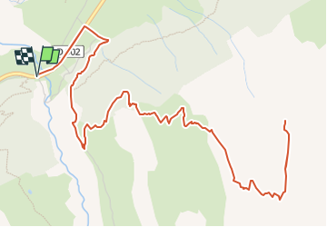

Length
10.4 km

Max alt
2958 m

Uphill gradient
1245 m
Km-Effort
27 km

Min alt
1732 m

Downhill gradient
1244 m
Boucle
Yes
Creation date :
2025-08-23 16:21:26.147
Updated on :
2025-08-23 16:21:27.482
6h08
Difficulty : Very difficult

FREE GPS app for hiking
 SityTrail
IGN / Geographical institutes
SityTrail Plus
The world is yours!
About
Trail Walking of 10.4 km to be discovered at Auvergne-Rhône-Alpes, Savoy, Bessans. This trail is proposed by geoffrayLayeux.
Positioning
Country:
France
Region :
Auvergne-Rhône-Alpes
Department/Province :
Savoy
Municipality :
Bessans
Location:
Unknown
Start:(Dec)
Start:(UTM)
342389 ; 5019593 (32T) N.
Comments