


Rochers des 2 Vierges

gerardhenr
User

Length
11.1 km

Max alt
522 m

Uphill gradient
429 m
Km-Effort
16.8 km

Min alt
172 m

Downhill gradient
441 m
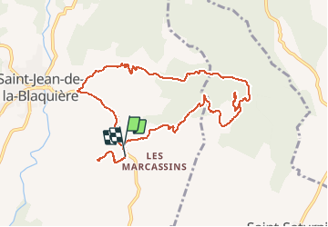
Boucle
Yes
Creation date :
2015-08-20 00:00:00.0
Updated on :
2015-08-20 00:00:00.0
3h29
Difficulty : Medium

FREE GPS app for hiking
 SityTrail
IGN / Geographical institutes
SityTrail Plus
The world is yours!
About
Trail Walking of 11.1 km to be discovered at Occitania, Hérault, Saint-Jean-de-la-Blaquière. This trail is proposed by gerardhenr.
Description
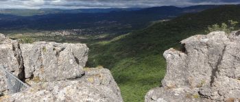
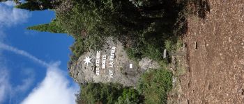
Parking au point d'Arrivée. Montée dure sur chemin caillouteux.Point de vue sublime au sommet.
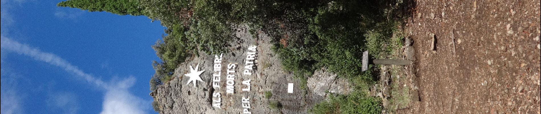
Passage au FélibrigesFélibriges.
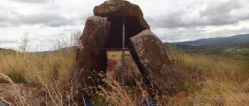
Supplément: Dolmen en cours d'étude.
Photos


Positioning
Country:
France
Region :
Occitania
Department/Province :
Hérault
Municipality :
Saint-Jean-de-la-Blaquière
Location:
Unknown
Start:(Dec)
Start:(UTM)
535444 ; 4839394 (31T) N.
Comments