


l alloix st Vincent de mercuze

cocosteph
User
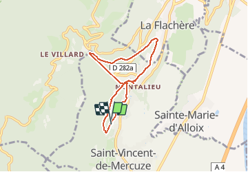

Length
6.2 km

Max alt
678 m

Uphill gradient
399 m
Km-Effort
11.5 km

Min alt
356 m

Downhill gradient
398 m
Boucle
Yes
Creation date :
2015-08-21 00:00:00.0
Updated on :
2015-08-21 00:00:00.0
1h44
Difficulty : Easy

FREE GPS app for hiking
 SityTrail
IGN / Geographical institutes
SityTrail Plus
The world is yours!
About
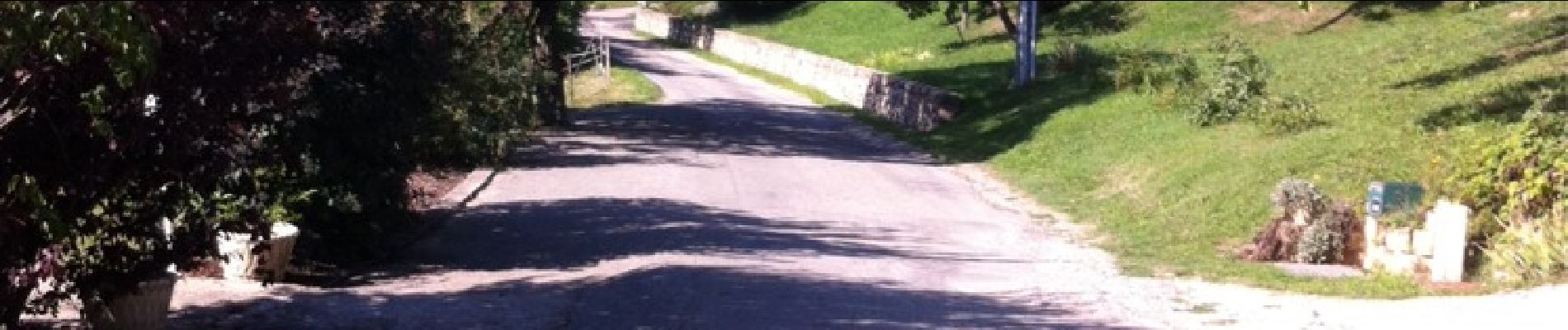
Trail Other activity of 6.2 km to be discovered at Auvergne-Rhône-Alpes, Isère, Saint-Vincent-de-Mercuze. This trail is proposed by cocosteph.
Photos


Positioning
Country:
France
Region :
Auvergne-Rhône-Alpes
Department/Province :
Isère
Municipality :
Saint-Vincent-de-Mercuze
Location:
Unknown
Start:(Dec)
Start:(UTM)
730802 ; 5029301 (31T) N.
Comments