


Vence Baou des noirs et des blancs

pjjrevrard
User
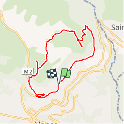

Length
8.9 km

Max alt
730 m

Uphill gradient
387 m
Km-Effort
14.1 km

Min alt
411 m

Downhill gradient
386 m
Boucle
Yes
Creation date :
2014-12-10 00:00:00.0
Updated on :
2014-12-10 00:00:00.0
3h22
Difficulty : Unknown

FREE GPS app for hiking
 SityTrail
IGN / Geographical institutes
SityTrail Plus
The world is yours!
About
Trail Walking of 8.9 km to be discovered at Provence-Alpes-Côte d'Azur, Maritime Alps, Vence. This trail is proposed by pjjrevrard.
Description
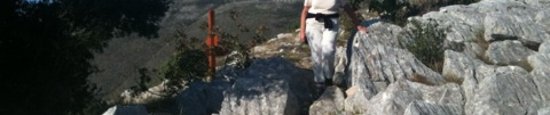
2010-10-12 - 17h39m02
Photos


Positioning
Country:
France
Region :
Provence-Alpes-Côte d'Azur
Department/Province :
Maritime Alps
Municipality :
Vence
Location:
Unknown
Start:(Dec)
Start:(UTM)
348298 ; 4843934 (32T) N.
Comments