


rando'rnoise refaite 10-2015

cath310
User

Length
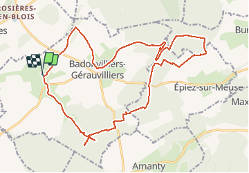
23 km

Max alt
400 m

Uphill gradient
279 m
Km-Effort
27 km

Min alt
327 m

Downhill gradient
276 m
Boucle
Yes
Creation date :
2015-10-04 00:00:00.0
Updated on :
2015-10-04 00:00:00.0
4h58
Difficulty : Easy

FREE GPS app for hiking
 SityTrail
IGN / Geographical institutes
SityTrail Plus
The world is yours!
About
Trail Walking of 23 km to be discovered at Grand Est, Meuse, Badonvilliers-Gérauvilliers. This trail is proposed by cath310.
Description
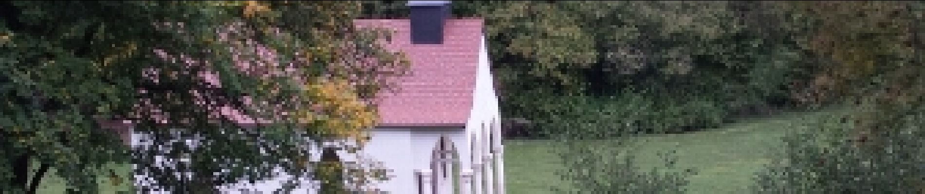
Au départ de Gérauvillers
Photos


Positioning
Country:
France
Region :
Grand Est
Department/Province :
Meuse
Municipality :
Badonvilliers-Gérauvilliers
Location:
Gérauvilliers
Start:(Dec)
Start:(UTM)
688794 ; 5380399 (31U) N.
Comments
Bonne rando.