


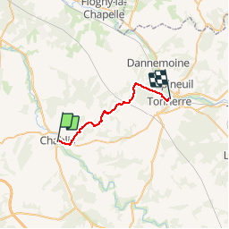
chablis tonnerre

theo89
User

Length
21 km

Max alt
293 m

Uphill gradient
421 m
Km-Effort
26 km

Min alt
129 m

Downhill gradient
422 m
Boucle
No
Creation date :
2015-10-11 00:00:00.0
Updated on :
2015-10-11 00:00:00.0
3h50
Difficulty : Very easy

FREE GPS app for hiking
 SityTrail
IGN / Geographical institutes
SityTrail Plus
The world is yours!
About
Trail Walking of 21 km to be discovered at Bourgogne-Franche-Comté, Yonne, Chablis. This trail is proposed by theo89.
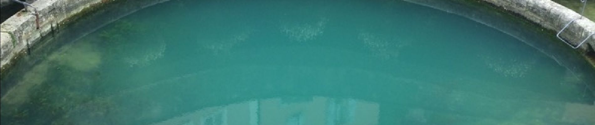
Photos


Positioning
Country:
France
Region :
Bourgogne-Franche-Comté
Department/Province :
Yonne
Municipality :
Chablis
Location:
Unknown
Start:(Dec)
Start:(UTM)
559975 ; 5295920 (31T) N.
Comments