


15 km | 24 km-effort


User GUIDE


FREE GPS app for hiking
 SityTrail
IGN / Geographical institutes
SityTrail World
The world is yours!
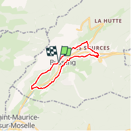
Trail Mountain bike of 9.6 km to be discovered at Grand Est, Vosges, Bussang. This trail is proposed by pascalou73.
Un circuit vtt au départ de la place du village de Bussang, pour un tour familial autour du village. Il vous conduira aux sources de la Moselle pour vous emmener ensuite vers les sommets. De là, redescendre vers les étangs Fernand Aiguier et enfin le retour se fera par le théâtre du peuple de Bussang.


Walking

Snowshoes

Walking

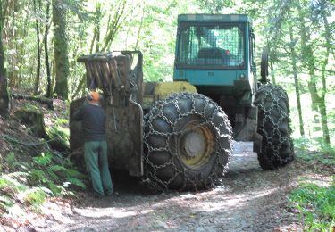
Mountain bike

Mountain bike
On foot

On foot
On foot
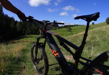
Mountain bike