


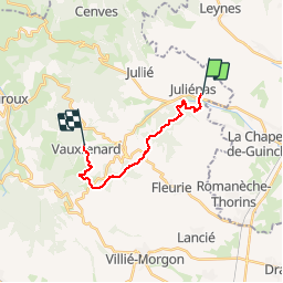

23 km | 28 km-effort


User


FREE GPS app for hiking
 SityTrail
IGN / Geographical institutes
SityTrail World
The world is yours!
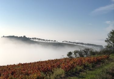
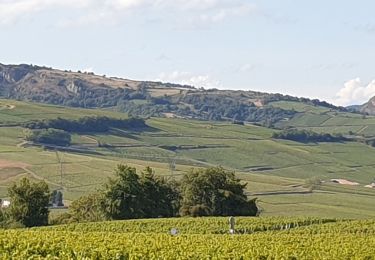
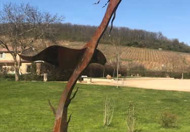
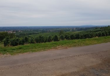
Trail Walking of 13.5 km to be discovered at Auvergne-Rhône-Alpes, Rhône, Juliénas. This trail is proposed by klee1937.
Montagne des chasseurs - cols des Labourons, Durbize
Walking
Walking
Walking
Walking
Walking

Walking
Walking
Running

Running