


le marquis

COMAN
User
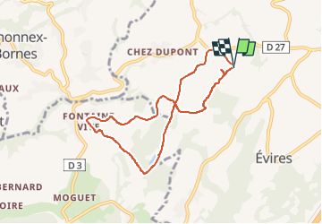

Length
7.6 km

Max alt
877 m

Uphill gradient
122 m
Km-Effort
9.2 km

Min alt
832 m

Downhill gradient
120 m
Boucle
Yes
Creation date :
2017-06-19 00:00:00.0
Updated on :
2017-06-19 00:00:00.0
1h59
Difficulty : Easy

FREE GPS app for hiking
 SityTrail
IGN / Geographical institutes
SityTrail Plus
The world is yours!
About
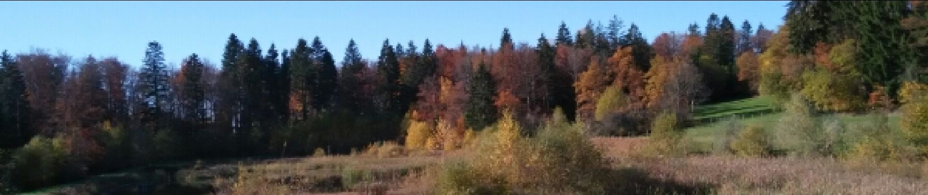
Trail Walking of 7.6 km to be discovered at Auvergne-Rhône-Alpes, Upper Savoy, Fillière. This trail is proposed by COMAN.
Photos

Positioning
Country:
France
Region :
Auvergne-Rhône-Alpes
Department/Province :
Upper Savoy
Municipality :
Fillière
Location:
Évires
Start:(Dec)
Start:(UTM)
284632 ; 5103331 (32T) N.
Comments