Les hautes Fagnes

pascalou73
User GUIDE
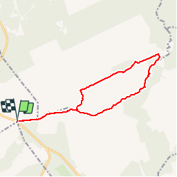

Length
13.1 km

Max alt
675 m

Uphill gradient
156 m
Km-Effort
15.2 km

Min alt
547 m

Downhill gradient
156 m
Boucle
Yes
Creation date :
2015-11-06 00:00:00.0
Updated on :
2015-11-06 00:00:00.0
3h20
Difficulty : Medium

FREE GPS app for hiking
 SityTrail
IGN / Geographical institutes
SityTrail Plus
The world is yours!
About
Trail Walking of 13.1 km to be discovered at Wallonia, Liège, Malmedy. This trail is proposed by pascalou73.
Description
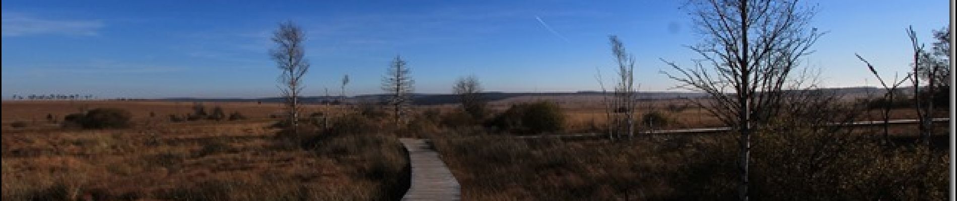
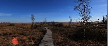
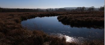
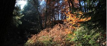
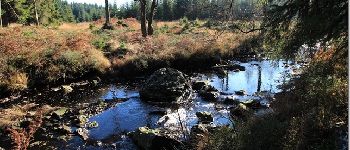
Une rando dans les hautes Fagnes au départ de la Baraque Michel on va passer la réserve naturelle des hautes Fagne set vous suivrez la rivière la Helle pour passer dans la Fagne Wallonne .
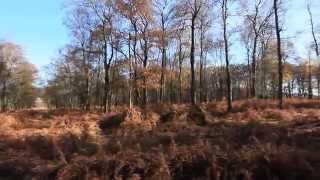
Photos


Positioning
Country:
Belgium
Region :
Wallonia
Department/Province :
Liège
Municipality :
Malmedy
Location:
Bevercé
Start:(Dec)
Start:(UTM)
291812 ; 5600433 (32U) N.
Comments