


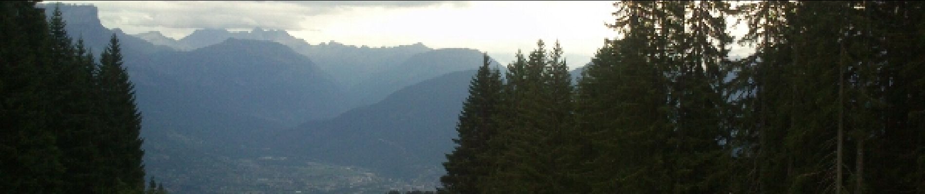
Passy - les hauts de Combloux

fredtruc27
User
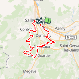

Length
31 km

Max alt
1463 m

Uphill gradient
1056 m
Km-Effort
45 km

Min alt
542 m

Downhill gradient
1056 m
Boucle
Yes
Creation date :
2015-11-15 00:00:00.0
Updated on :
2015-11-15 00:00:00.0
3h43
Difficulty : Very difficult

FREE GPS app for hiking
 SityTrail
IGN / Geographical institutes
SityTrail Plus
The world is yours!
About
Trail Mountain bike of 31 km to be discovered at Auvergne-Rhône-Alpes, Upper Savoy, Passy. This trail is proposed by fredtruc27.
Photos


Positioning
Country:
France
Region :
Auvergne-Rhône-Alpes
Department/Province :
Upper Savoy
Municipality :
Passy
Location:
Unknown
Start:(Dec)
Start:(UTM)
317757 ; 5088347 (32T) N.
Comments