


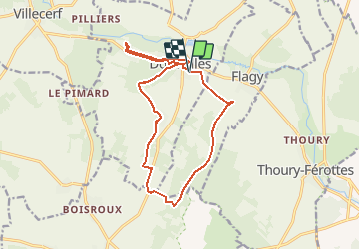


11.1 km | 13 km-effort

User


FREE GPS app for hiking
 SityTrail
IGN / Geographical institutes
SityTrail World
The world is yours!
Trail Walking of 14.6 km to be discovered at Ile-de-France, Seine-et-Marne, Dormelles. This trail is proposed by randodan.
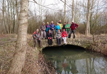
Rando Pot-au-Feu à Dormelles avec l´Arder<br>
- 03 décembre 2015 -<br>
Le GPS ayant refusé de démarrer le matin (il n'a fonctionné que la dernière demi-heure), la trace est reconstituée "à la main".<br>
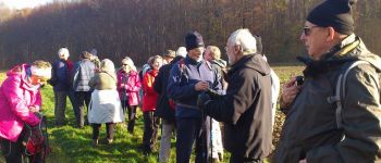
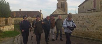
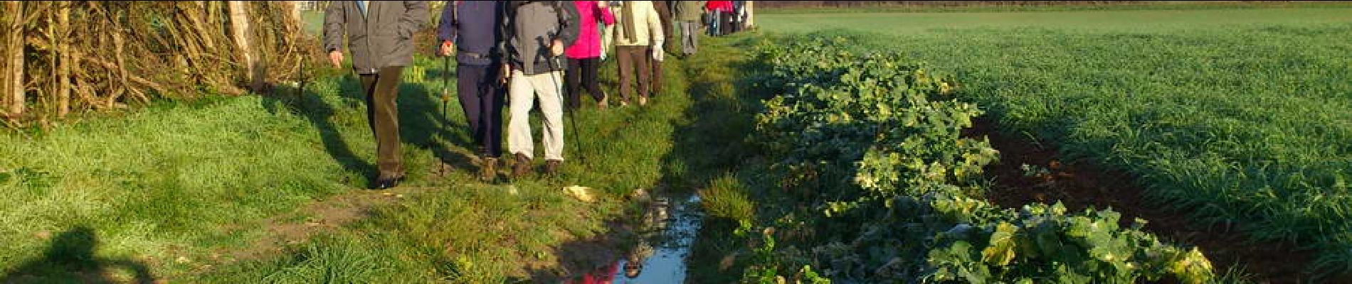
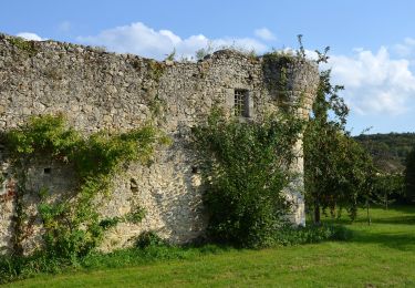
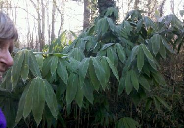
9h45, départ du parking de la Salle des Fêtes . GR de Pays de l'Orvanne, Croix de Rogations, Forêt de la Reine . 11h, pause biberon au soleil, photo de famille à la Mare du Mitais.<br>
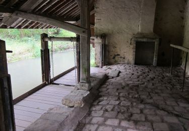
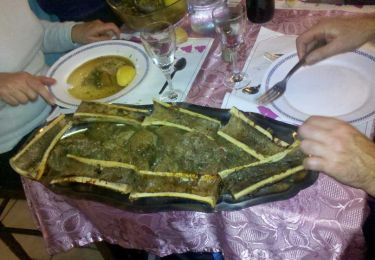
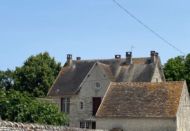
12h45 à l'Auberge du Bocage pour le Pot-au-Feu tant attendu.<br>
15h, quelques courageux repartent pour un petit tour digestif jusqu'au Fort de Challeau, retour par le Toboggan.<br>
26 participants par une belle journée ensoleillée.


On foot
On foot

Nordic walking

Walking
Walking
Walking
Walking
Nordic walking

Walking