


les chemins de ploumana'ch

theo89
User
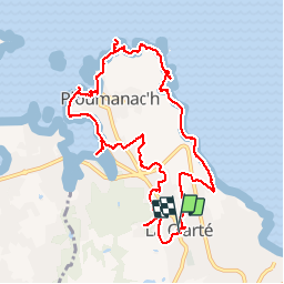

Length
10.4 km

Max alt
64 m

Uphill gradient
142 m
Km-Effort
12.3 km

Min alt
0 m

Downhill gradient
142 m
Boucle
Yes
Creation date :
2016-01-01 00:00:00.0
Updated on :
2016-01-01 00:00:00.0
2h45
Difficulty : Very easy

FREE GPS app for hiking
 SityTrail
IGN / Geographical institutes
SityTrail Plus
The world is yours!
About
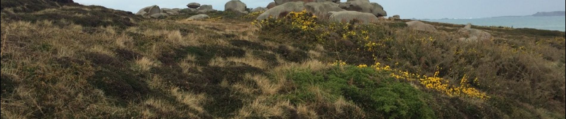
Trail Walking of 10.4 km to be discovered at Brittany, Côtes-d'Armor, Perros-Guirec. This trail is proposed by theo89.
Photos


26 photos in total. Please click on a photo to see them all in the gallery.
Positioning
Country:
France
Region :
Brittany
Department/Province :
Côtes-d'Armor
Municipality :
Perros-Guirec
Location:
Unknown
Start:(Dec)
Start:(UTM)
465218 ; 5407365 (30U) N.
Comments