


20160206-St Pierre des Fleurs

doudet
User
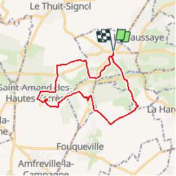

Length
13.2 km

Max alt
166 m

Uphill gradient
239 m
Km-Effort
16.3 km

Min alt
96 m

Downhill gradient
239 m
Boucle
Yes
Creation date :
2018-09-11 09:11:54.548
Updated on :
2018-09-11 09:11:54.548
3h31
Difficulty : Medium

FREE GPS app for hiking
 SityTrail
IGN / Geographical institutes
SityTrail Plus
The world is yours!
About
Trail Walking of 13.2 km to be discovered at Normandy, Eure, Saint-Pierre-des-Fleurs. This trail is proposed by doudet.
Description
Boucle A-R au départ de St Pierre des Fleurs-
PS: Cette randonnée est de 14Km2 en fait après l'avoir effectuée avec l'appli Sitytrail.
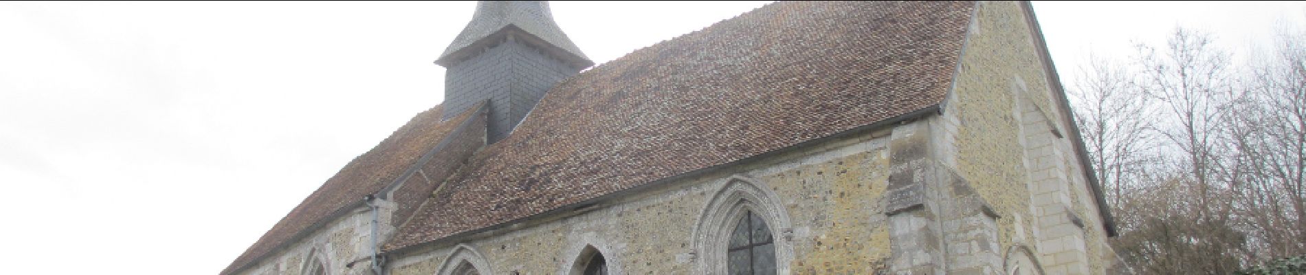
Photos

Positioning
Country:
France
Region :
Normandy
Department/Province :
Eure
Municipality :
Saint-Pierre-des-Fleurs
Location:
Unknown
Start:(Dec)
Start:(UTM)
351985 ; 5457339 (31U) N.
Comments