


le pic de ballonque

tigrou31
User
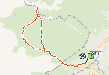

Length
11.2 km

Max alt
2269 m

Uphill gradient
968 m
Km-Effort
24 km

Min alt
1274 m

Downhill gradient
973 m
Boucle
Yes
Creation date :
2016-03-09 00:00:00.0
Updated on :
2016-03-09 00:00:00.0
7h13
Difficulty : Difficult

FREE GPS app for hiking
 SityTrail
IGN / Geographical institutes
SityTrail Plus
The world is yours!
About
Trail Other activity of 11.2 km to be discovered at Occitania, Hautespyrenees, Campan. This trail is proposed by tigrou31.
Positioning
Country:
France
Region :
Occitania
Department/Province :
Hautespyrenees
Municipality :
Campan
Location:
Unknown
Start:(Dec)
Start:(UTM)
271366 ; 4756521 (31T) N.
Comments