


20160223-Roncherolles

doudet
User
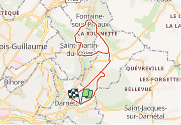

Length
14.1 km

Max alt
162 m

Uphill gradient
352 m
Km-Effort
18.8 km

Min alt
36 m

Downhill gradient
353 m
Boucle
Yes
Creation date :
2018-09-11 09:11:53.012
Updated on :
2018-09-11 09:11:53.012
4h01
Difficulty : Medium

FREE GPS app for hiking
 SityTrail
IGN / Geographical institutes
SityTrail Plus
The world is yours!
About
Trail Walking of 14.1 km to be discovered at Normandy, Seine-Maritime, Darnétal. This trail is proposed by doudet.
Description
Boucle A-R au Départ du Stade des Violettes de Darnétal
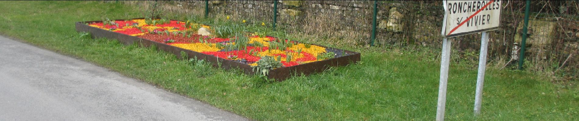
Photos

Positioning
Country:
France
Region :
Normandy
Department/Province :
Seine-Maritime
Municipality :
Darnétal
Location:
Unknown
Start:(Dec)
Start:(UTM)
366705 ; 5478464 (31U) N.
Comments