


la ramière boucle

jsaun
User
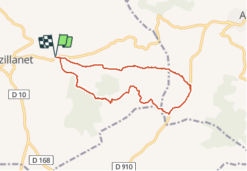

Length
7.9 km

Max alt
208 m

Uphill gradient
157 m
Km-Effort
10 km

Min alt
101 m

Downhill gradient
157 m
Boucle
Yes
Creation date :
2016-03-09 00:00:00.0
Updated on :
2016-03-09 00:00:00.0
2h26
Difficulty : Easy

FREE GPS app for hiking
 SityTrail
IGN / Geographical institutes
SityTrail Plus
The world is yours!
About
Trail Walking of 7.9 km to be discovered at Occitania, Hérault, Azillanet. This trail is proposed by jsaun.
Description
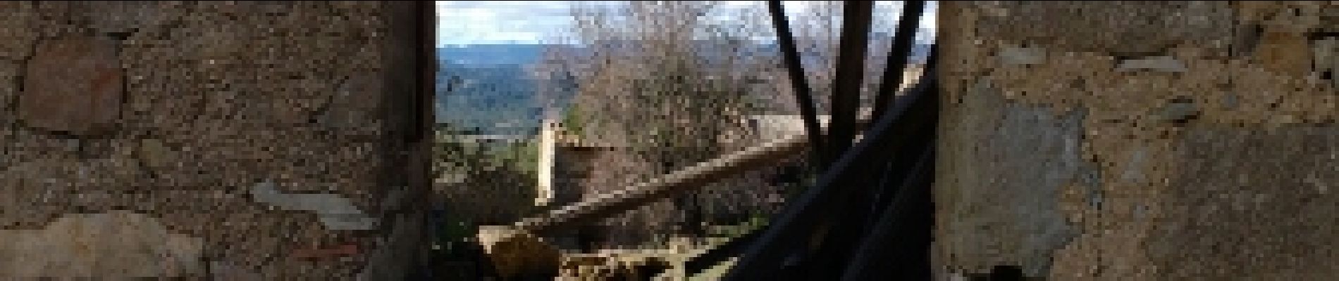
varié, magnifique
Photos


Positioning
Country:
France
Region :
Occitania
Department/Province :
Hérault
Municipality :
Azillanet
Location:
Unknown
Start:(Dec)
Start:(UTM)
479633 ; 4796945 (31T) N.
Comments