


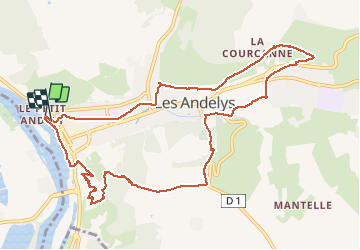
20160324-Les Andelys

doudet
User

Length
11.2 km

Max alt
162 m

Uphill gradient
302 m
Km-Effort
15.2 km

Min alt
10 m

Downhill gradient
301 m
Boucle
Yes
Creation date :
2018-09-11 09:11:49.159
Updated on :
2018-09-11 09:11:49.159
3h18
Difficulty : Difficult

FREE GPS app for hiking
 SityTrail
IGN / Geographical institutes
SityTrail Plus
The world is yours!
About
Trail Walking of 11.2 km to be discovered at Normandy, Eure, Les Andelys. This trail is proposed by doudet.
Description
Boucle A-R au départ du Petit-Andelys
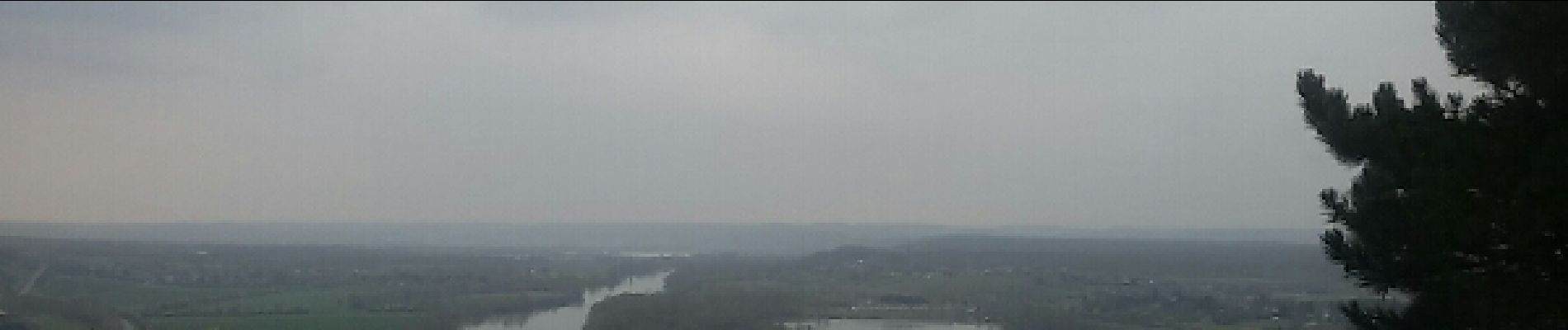
Photos


Positioning
Country:
France
Region :
Normandy
Department/Province :
Eure
Municipality :
Les Andelys
Location:
Unknown
Start:(Dec)
Start:(UTM)
383248 ; 5455972 (31U) N.
Comments