


Lou Roumegaire

gerardhenr
User

Length
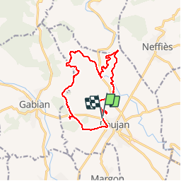
14.5 km

Max alt
193 m

Uphill gradient
314 m
Km-Effort
18.7 km

Min alt
84 m

Downhill gradient
317 m
Boucle
Yes
Creation date :
2016-03-30 00:00:00.0
Updated on :
2016-03-30 00:00:00.0
3h28
Difficulty : Easy

FREE GPS app for hiking
 SityTrail
IGN / Geographical institutes
SityTrail Plus
The world is yours!
About
Trail Walking of 14.5 km to be discovered at Occitania, Hérault, Roujan. This trail is proposed by gerardhenr.
Description
A éviter par fortes chaleurs, beaucoup de découvert.
Départ du rond point sur la D 13 à l'entrée ouest de Roujan.
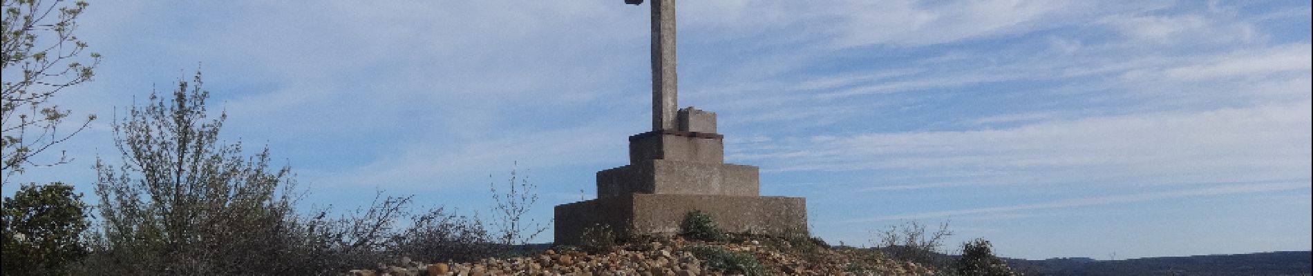
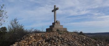
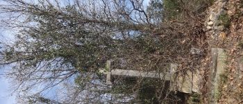
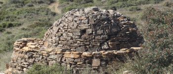
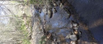
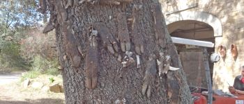
Photos


Positioning
Country:
France
Region :
Occitania
Department/Province :
Hérault
Municipality :
Roujan
Location:
Unknown
Start:(Dec)
Start:(UTM)
524605 ; 4817454 (31T) N.
Comments