


df5 col de saverne v2

fredodlageo
User

Length
27 km

Max alt
424 m

Uphill gradient
719 m
Km-Effort
37 km

Min alt
181 m

Downhill gradient
719 m
Boucle
Yes
Creation date :
2016-03-27 00:00:00.0
Updated on :
2016-03-27 00:00:00.0
--
Difficulty : Difficult

FREE GPS app for hiking
 SityTrail
IGN / Geographical institutes
SityTrail Plus
The world is yours!
About
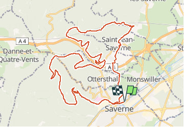
Trail Mountain bike of 27 km to be discovered at Grand Est, Bas-Rhin, Saverne. This trail is proposed by fredodlageo.
Positioning
Country:
France
Region :
Grand Est
Department/Province :
Bas-Rhin
Municipality :
Saverne
Location:
Unknown
Start:(Dec)
Start:(UTM)
379894 ; 5400408 (32U) N.
Comments