


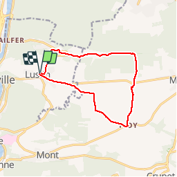
LUSTIN (N-D de le Salette)

GerardBouche
User

Length
11.1 km

Max alt
279 m

Uphill gradient
217 m
Km-Effort
14 km

Min alt
167 m

Downhill gradient
217 m
Boucle
Yes
Creation date :
2016-04-03 00:00:00.0
Updated on :
2016-04-03 00:00:00.0
3h01
Difficulty : Easy

FREE GPS app for hiking
 SityTrail
IGN / Geographical institutes
SityTrail Plus
The world is yours!
About
Trail Walking of 11.1 km to be discovered at Wallonia, Namur, Profondeville. This trail is proposed by GerardBouche.
Description
Par le Fond d'Arche vers la chapelle de la Salette, le Château Fme-d'Arche, la chapelle St-Martin d'Ivoy et l'aérodrome de Maillen.
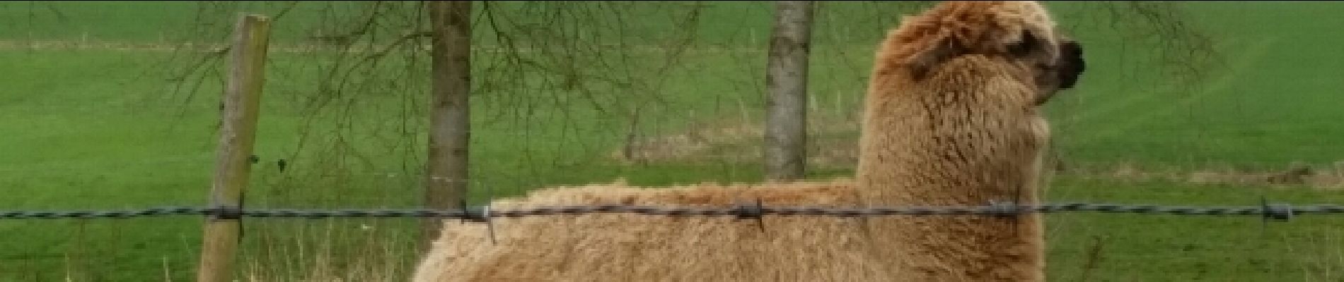
Photos
 - Photo 1")
 - Photo 2")
 - Photo 3")
 - Photo 4")
 - Photo 5")
 - Photo 6")
 - Photo 7")
 - Photo 8")
 - Photo 9")
Positioning
Country:
Belgium
Region :
Wallonia
Department/Province :
Namur
Municipality :
Profondeville
Location:
Lustin
Start:(Dec)
Start:(UTM)
634967 ; 5582561 (31U) N.
Comments