


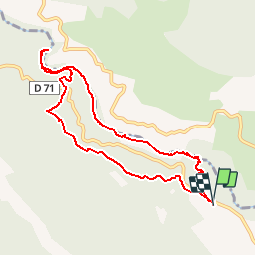
Verdon Styx Imbut et Vidal

Palimpseste
User


4h31
Difficulty : Difficult

FREE GPS app for hiking
 SityTrail
IGN / Geographical institutes
SityTrail Plus
The world is yours!
About
Trail Walking of 9.5 km to be discovered at Provence-Alpes-Côte d'Azur, Var, Aiguines. This trail is proposed by Palimpseste.
Description
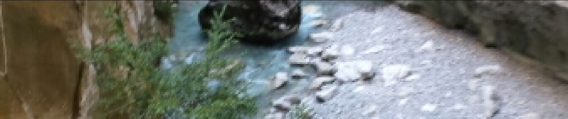
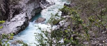
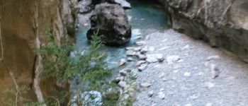
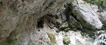
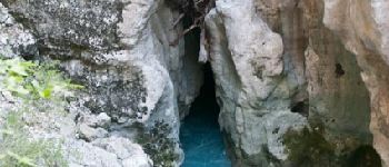
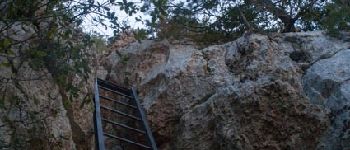
Difficile mais belle randonnée qui mêle la contemplation d’un paysage splendide au plaisir de passages un peu physiques. Vient s’ajouter, l’ambiance un peu dramatique des plaques commémorant des accidents.
Photos


Points of interest


Positioning
Comments