


Peiner Val Astier Faucon

trailer.nono
User
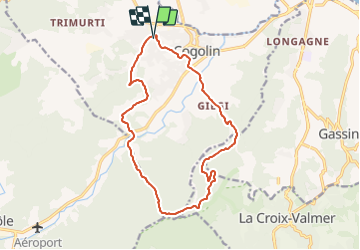

Length
16 km

Max alt
358 m

Uphill gradient
467 m
Km-Effort
22 km

Min alt
8 m

Downhill gradient
466 m
Boucle
Yes
Creation date :
2016-05-04 00:00:00.0
Updated on :
2016-05-04 00:00:00.0
1h41
Difficulty : Medium

FREE GPS app for hiking
 SityTrail
IGN / Geographical institutes
SityTrail Plus
The world is yours!
About
Trail Other activity of 16 km to be discovered at Provence-Alpes-Côte d'Azur, Var, Cogolin. This trail is proposed by trailer.nono.
Positioning
Country:
France
Region :
Provence-Alpes-Côte d'Azur
Department/Province :
Var
Municipality :
Cogolin
Location:
Unknown
Start:(Dec)
Start:(UTM)
298816 ; 4791908 (32T) N.
Comments