


balade sauratoise

bellouelo46
User
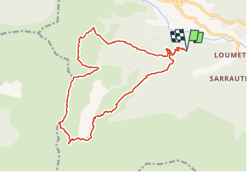

Length
11.3 km

Max alt
1619 m

Uphill gradient
605 m
Km-Effort
19.4 km

Min alt
1065 m

Downhill gradient
606 m
Boucle
Yes
Creation date :
2016-05-04 00:00:00.0
Updated on :
2016-05-04 00:00:00.0
3h46
Difficulty : Medium

FREE GPS app for hiking
 SityTrail
IGN / Geographical institutes
SityTrail Plus
The world is yours!
About
Trail Walking of 11.3 km to be discovered at Occitania, Ariège, Saurat. This trail is proposed by bellouelo46.
Description
balade
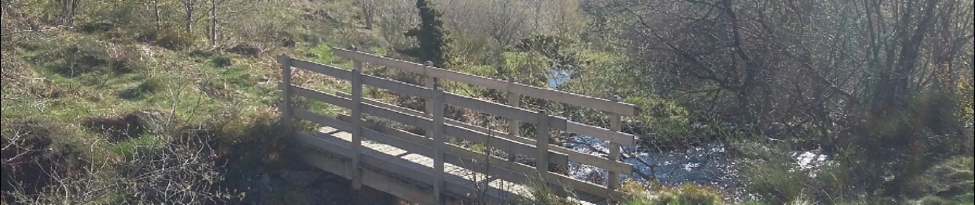
Photos


Positioning
Country:
France
Region :
Occitania
Department/Province :
Ariège
Municipality :
Saurat
Location:
Unknown
Start:(Dec)
Start:(UTM)
376102 ; 4749080 (31T) N.
Comments