


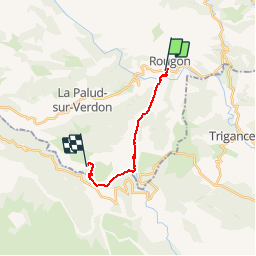

9.3 km | 18.6 km-effort

User


FREE GPS app for hiking
 SityTrail
IGN / Geographical institutes
SityTrail World
The world is yours!
Trail Walking of 12.1 km to be discovered at Provence-Alpes-Côte d'Azur, Alpes-de-Haute-Provence, Rougon. This trail is proposed by Dervalmarc.
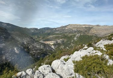
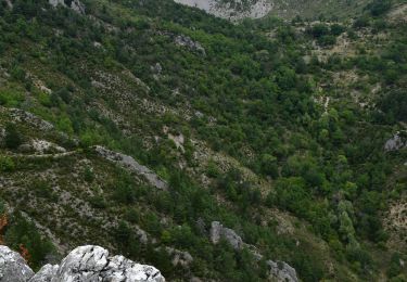
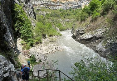
Cette superbe rando,balisée rouge et blanc,est devenue la classique des gorges.Tantôt en balcon,tantôt près du cours d'eau,elle épouse le trajet du Verdon.


Walking

Walking
Walking
Walking
Walking

Walking
Walking
Walking
Walking
Bonjour Sugg. Vous avez raison. Plantage du GPS. D'où ces valeurs farfelus. J'ai fait les corrections. Merci pour vos remarques.
Bonjour, Pouvez vous m'expliquer les valeurs de dénivelés complètement farfelues !!!!...... désolé pour la question, je viens de regarder en détails et j'ai constaté que vous étiez en hélicoptère MDR ......