


Marbotte

bohynm
User
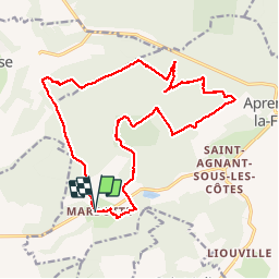

Length
19.1 km

Max alt
379 m

Uphill gradient
387 m
Km-Effort
24 km

Min alt
243 m

Downhill gradient
387 m
Boucle
Yes
Creation date :
2016-05-09 00:00:00.0
Updated on :
2016-05-09 00:00:00.0
5h12
Difficulty : Medium

FREE GPS app for hiking
 SityTrail
IGN / Geographical institutes
SityTrail Plus
The world is yours!
About
Trail Walking of 19.1 km to be discovered at Grand Est, Meuse, Apremont-la-Forêt. This trail is proposed by bohynm.
Description
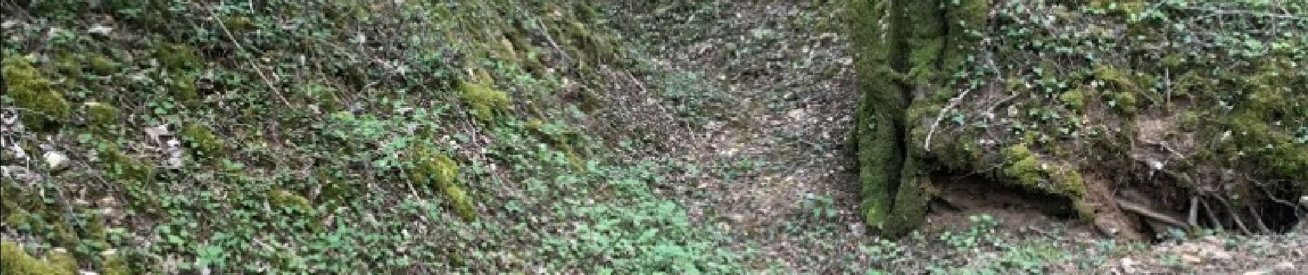
ben, l'onf ne fait pas frand chose pour preserver ce site historique.....
Photos

Positioning
Country:
France
Region :
Grand Est
Department/Province :
Meuse
Municipality :
Apremont-la-Forêt
Location:
Marbotte
Start:(Dec)
Start:(UTM)
689407 ; 5412286 (31U) N.
Comments