


Luik - 2016-06-05 - Mont Rigi - Geitzbush - Herzogenhugel

misph
User
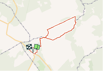

Length
13.1 km

Max alt
682 m

Uphill gradient
158 m
Km-Effort
15.2 km

Min alt
552 m

Downhill gradient
158 m
Boucle
Yes
Creation date :
2017-05-05 00:00:00.0
Updated on :
2017-05-05 00:00:00.0
4h14
Difficulty : Medium

FREE GPS app for hiking
 SityTrail
IGN / Geographical institutes
SityTrail Plus
The world is yours!
About
Trail Walking of 13.1 km to be discovered at Wallonia, Liège, Waimes. This trail is proposed by misph.
Description
Starten bij Mont Rigi - Fagne Rasquin - Noir Flohai - Geitzbush - Petit Bongard - Herzogenhugel - langs de Helle en Fagne Wallonne terug naar Mont Rigi.


Positioning
Country:
Belgium
Region :
Wallonia
Department/Province :
Liège
Municipality :
Waimes
Location:
Robertville
Start:(Dec)
Start:(UTM)
292807 ; 5599494 (32U) N.
Comments