


160402-BoisBelleFontaine

randodan
User
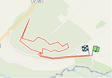

Length
2.8 km

Max alt
157 m

Uphill gradient
76 m
Km-Effort
3.8 km

Min alt
82 m

Downhill gradient
74 m
Boucle
Yes
Creation date :
2016-06-04 00:00:00.0
Updated on :
2016-06-04 00:00:00.0
10m
Difficulty : Easy

FREE GPS app for hiking
 SityTrail
IGN / Geographical institutes
SityTrail Plus
The world is yours!
About
Trail Walking of 2.8 km to be discovered at Ile-de-France, Seine-et-Marne, Flagy. This trail is proposed by randodan.
Description
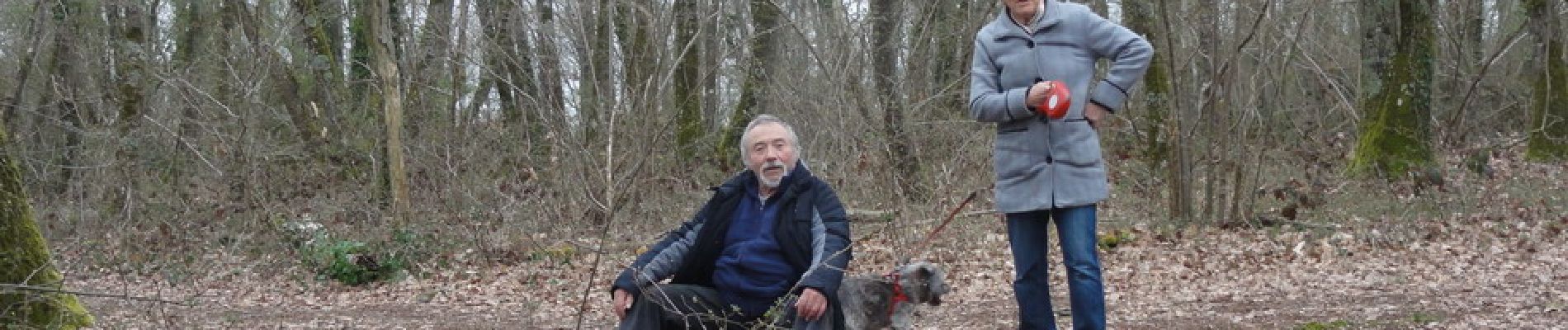
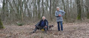
Bois de Belle Fontaine le 2 avril, avec JL&D<br>
Tracé <u>manu</u> après la balade !!!
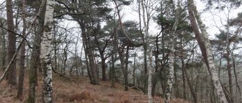
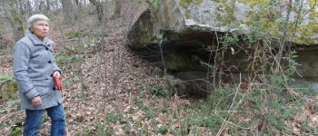
Photos


Positioning
Country:
France
Region :
Ile-de-France
Department/Province :
Seine-et-Marne
Municipality :
Flagy
Location:
Unknown
Start:(Dec)
Start:(UTM)
495313 ; 5351467 (31U) N.
Comments