


De Bretigny à Vignory

destras
User
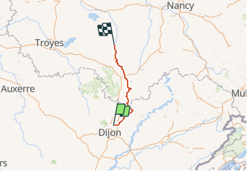

Length
150 km

Max alt
475 m

Uphill gradient
1235 m
Km-Effort
166 km

Min alt
207 m

Downhill gradient
1260 m
Boucle
No
Creation date :
2016-06-24 00:00:00.0
Updated on :
2016-06-24 00:00:00.0
5h40
Difficulty : Easy

FREE GPS app for hiking
 SityTrail
IGN / Geographical institutes
SityTrail Plus
The world is yours!
About
Trail Cycle of 150 km to be discovered at Bourgogne-Franche-Comté, Côte-d'Or, Bretigny. This trail is proposed by destras.
Description
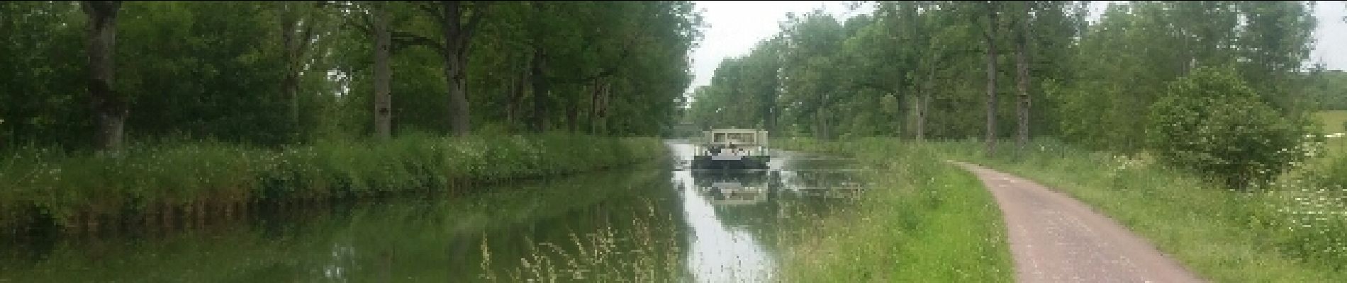
De Bretigny à Vignory. Rejoindre la véloroute du canal de la saone à la marne, et la suivre jusqu'à Vignory
Photos


Positioning
Country:
France
Region :
Bourgogne-Franche-Comté
Department/Province :
Côte-d'Or
Municipality :
Bretigny
Location:
Unknown
Start:(Dec)
Start:(UTM)
658784 ; 5251627 (31T) N.
Comments