


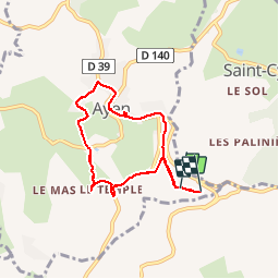
Ayen-160620 - CoteauxAyenNord

randodan
User


2h00
Difficulty : Easy

FREE GPS app for hiking
 SityTrail
IGN / Geographical institutes
SityTrail Plus
The world is yours!
About
Trail Walking of 6.4 km to be discovered at New Aquitaine, Corrèze, Ayen. This trail is proposed by randodan.
Description
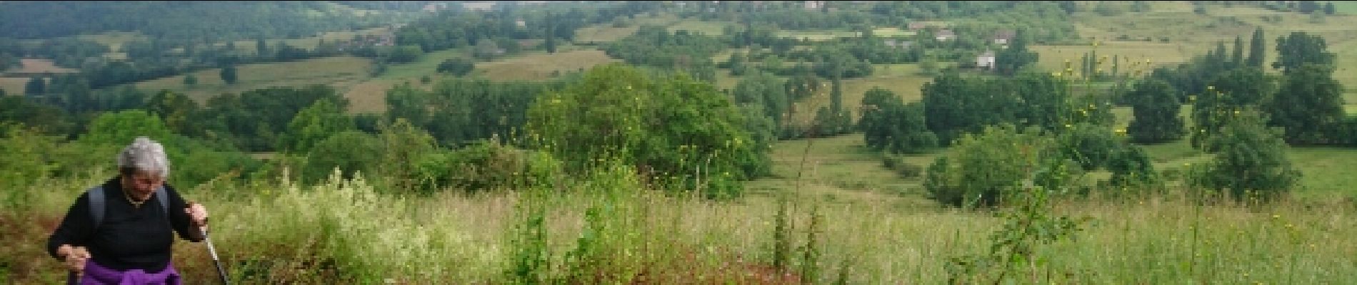
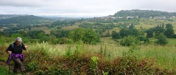
Ayen, 20 juin 2016<br>
- Les Coteaux d'Ayen, boucle Nord -<br>
<small>(d'après la fiche du C.G. Corrèze)</small><br>
9h, départ du VVF.<br>
Cette fois, on prend le bon départ . Juste après la traversée de la D95, le chemin se prend pour un petit ruisseau, chaussures étanches recommandées.<br>
La grimpette vers le Temple, dur-dur, Mireille est plus rouge qu'une pivoine . Mais voilà qu'à la sortie du Temple la végétation envahit complètement le sentier, on se rabat sur un retour plus direct au VVF.<br>
4 participants (Jo,Ca,Mi,Da).
Photos


Positioning
Comments