


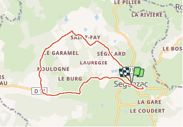
Ayen-160624 - Segonzac-PuyGuimont

randodan
User


2h10
Difficulty : Easy

FREE GPS app for hiking
 SityTrail
IGN / Geographical institutes
SityTrail Plus
The world is yours!
About
Trail Walking of 8.3 km to be discovered at New Aquitaine, Corrèze, Segonzac. This trail is proposed by randodan.
Description
Ayen, 24 juin 2016<br>
- Segonzac, tentative Puy Guimont -<br>
<small>(d'après le RandoGuide VVF RaNdO.4)</small><br>
9h10, départ de Segonzac.<br>
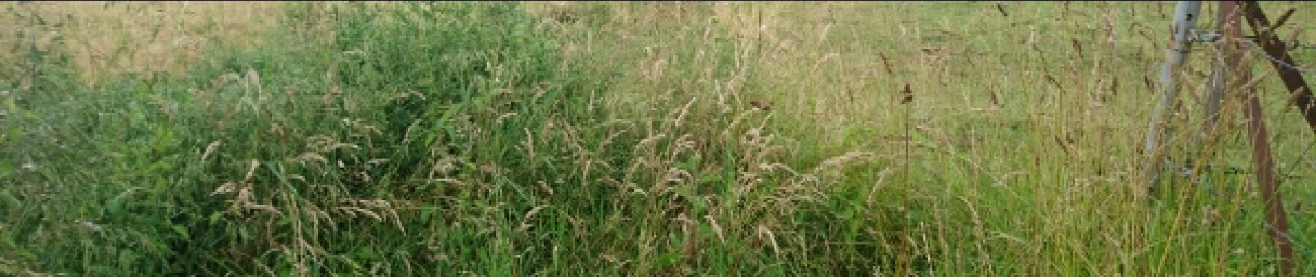
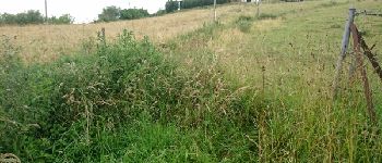
Ça commence mal, la rando (fiche VVF) s'appelle "Puy Guimont", mais impossible d'y accéder (du moins par ce chemin) : chemin recouvert de végétation et clôturé ! En fait, erreur IGN car ce chemin n'est même pas sur le plan cadastral . Demi-tour, on se contentera de la boucle autour du 'Burg'.<br>
Alternances de routes plein soleil et chemins ombragés . Une grande tirée de bitume pour finir, boaf...
11h20 à la voiture.
3 participants (?)
Photos

Positioning
Comments