


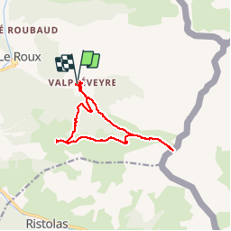
Valpréveyre-col d'urine-colinette Gilly 20160629

Bogapuki
User

Length
13.1 km

Max alt
2531 m

Uphill gradient
832 m
Km-Effort
24 km

Min alt
1853 m

Downhill gradient
848 m
Boucle
Yes
Creation date :
2018-11-25 09:19:07.859
Updated on :
2018-11-25 09:19:07.859
4h56
Difficulty : Medium

FREE GPS app for hiking
 SityTrail
IGN / Geographical institutes
SityTrail Plus
The world is yours!
About
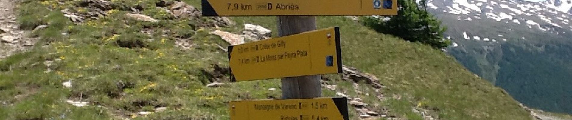
Trail Walking of 13.1 km to be discovered at Provence-Alpes-Côte d'Azur, Hautes-Alpes, Abriès-Ristolas. This trail is proposed by Bogapuki.
Photos


Positioning
Country:
France
Region :
Provence-Alpes-Côte d'Azur
Department/Province :
Hautes-Alpes
Municipality :
Abriès-Ristolas
Location:
Abriès
Start:(Dec)
Start:(UTM)
339319 ; 4964187 (32T) N.
Comments