


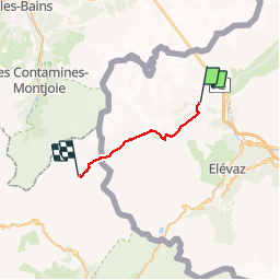

15.2 km | 32 km-effort

User


FREE GPS app for hiking
 SityTrail
IGN / Geographical institutes
SityTrail World
The world is yours!
Trail Walking of 20 km to be discovered at Aosta Valley, Unknown, Courmayeur. This trail is proposed by GerardBouche.
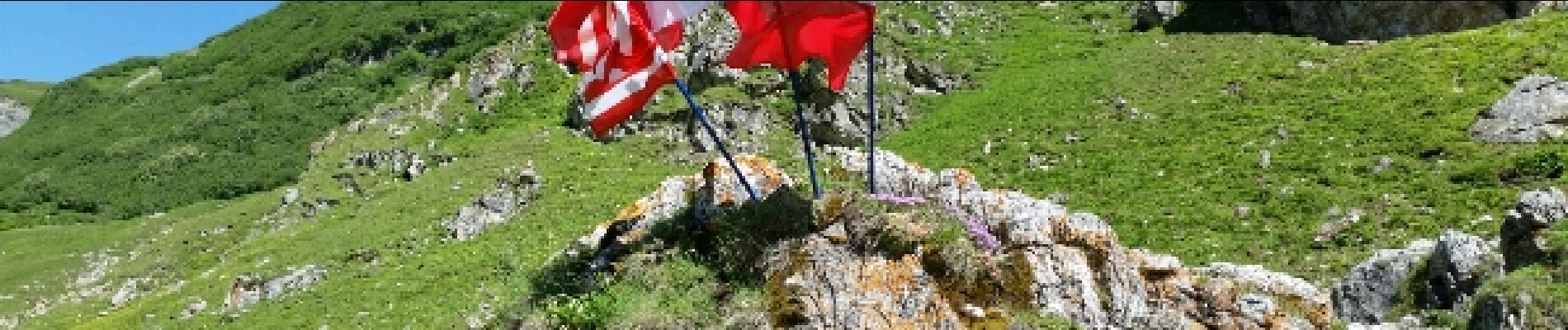
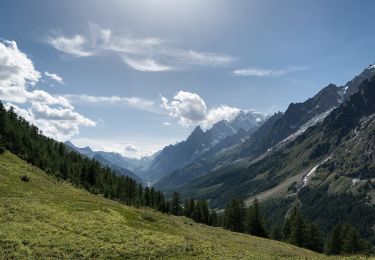
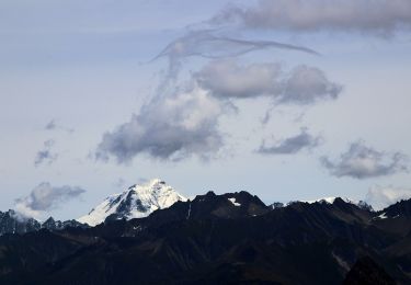
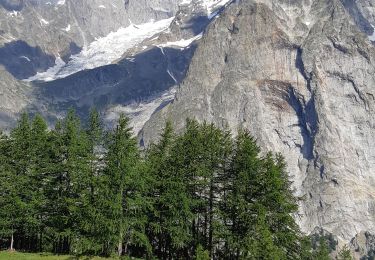
Montée par le lac glaciaire des Miages et le col enneigé de La Seigne(2.516 m)et nuitée au refuge des Mottets.


On foot
On foot
On foot
Walking

Walking
Walking
Walking

Other activity
Walking