


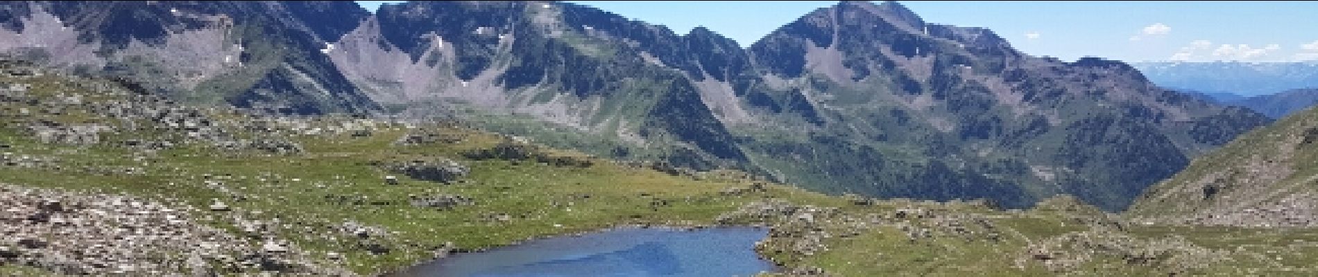
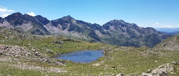
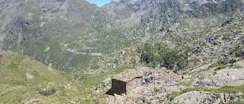
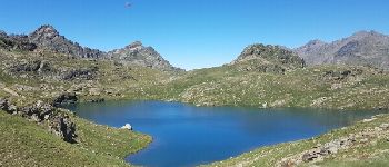
Boucle Etang de Médecourbe-Port de Bouet- Etang de Soucarrane- Etang de Roumazet

petit-pied
User


Length
15.3 km

Max alt
2524 m

Uphill gradient
968 m
Km-Effort
28 km

Min alt
1640 m

Downhill gradient
968 m
Boucle
Yes
Creation date :
2019-04-14 17:15:08.184
Updated on :
2019-04-14 17:15:08.407
5h37
Difficulty : Difficult

FREE GPS app for hiking
 SityTrail
IGN / Geographical institutes
SityTrail Plus
The world is yours!
About
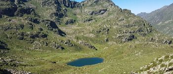
Trail Walking of 15.3 km to be discovered at Occitania, Ariège, Auzat. This trail is proposed by petit-pied.
Photos


Positioning
Country:
France
Region :
Occitania
Department/Province :
Ariège
Municipality :
Auzat
Location:
Unknown
Start:(Dec)
Start:(UTM)
372800 ; 4723810 (31T) N.
Comments