


la combe

raygautier
User
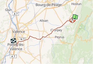

Length
46 km

Max alt
837 m

Uphill gradient
875 m
Km-Effort
59 km

Min alt
111 m

Downhill gradient
1254 m
Boucle
No
Creation date :
2016-07-21 00:00:00.0
Updated on :
2016-07-21 00:00:00.0
9h45
Difficulty : Easy

FREE GPS app for hiking
 SityTrail
IGN / Geographical institutes
SityTrail Plus
The world is yours!
About
Trail Walking of 46 km to be discovered at Auvergne-Rhône-Alpes, Drôme, Rochefort-Samson. This trail is proposed by raygautier.
Description
Jolie
Positioning
Country:
France
Region :
Auvergne-Rhône-Alpes
Department/Province :
Drôme
Municipality :
Rochefort-Samson
Location:
Unknown
Start:(Dec)
Start:(UTM)
671493 ; 4981603 (31T) N.
Comments