


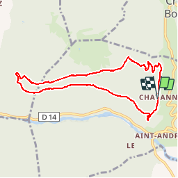


9.1 km | 15.7 km-effort

User GUIDE


FREE GPS app for hiking
 SityTrail
IGN / Geographical institutes
SityTrail World
The world is yours!
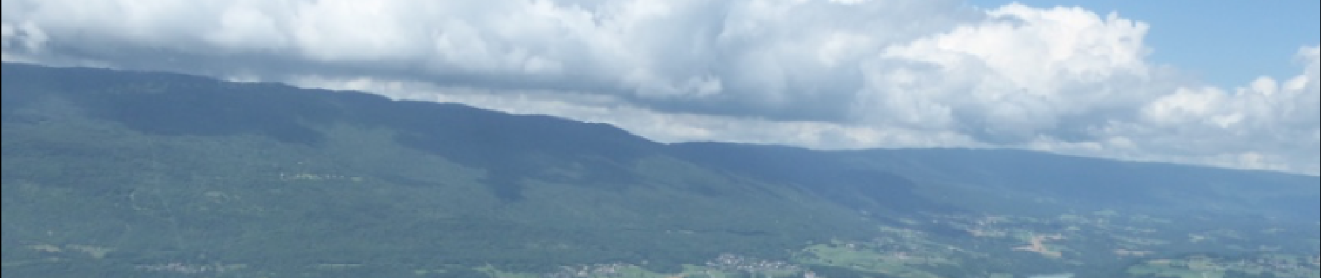
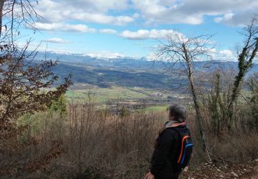
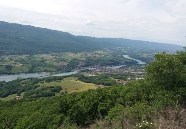
Trail Walking of 8.4 km to be discovered at Auvergne-Rhône-Alpes, Upper Savoy, Vallières-sur-Fier. This trail is proposed by HERRY.
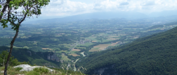
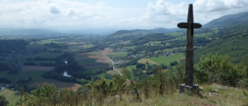
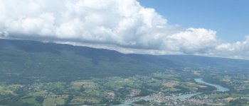
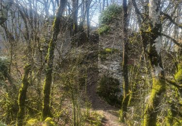
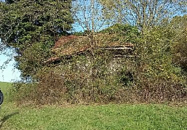
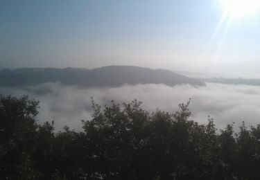
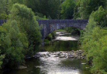
Par la route suivre Clermont à partir de St André, puis tourner à gauche vers le lieu-dit "Chavanne".Garer la voiture vers le panneau d'info ou plus loin sur la gauche au début du sentier. Monter à la croix de Chavanne (Point1), puis suivre le sentier qui va vous mener à une premiière intersection avec le chemin descendant vers St-André (point2). Continuer tout droit (l'effort est soutenu et çà monte-indication danger sur 500 mètres). Vous arrivez à une intersection qui indique de tourner à droite (Point 3).Continuer tout droit pour arriver à une plate-forme (Point4) dominant le Rhône et Seyssel.Plus loin ne pas louper la bifurcation ( Point 5) qui vous mènera par une pente raide sur le balcon supérieur où vous pourrez admirer au belvédère ( point 6) la vue sur le défilé et le Rhône. Après le Belvédère vous descendez régulièrement vers Chavanne ( remarquez au passage les Lapiaz couverts de mousse).Au point7 vous pouvez prendre le raccourci qui va éviter le dernier lacet.


Walking
Walking
Walking

Mountain bike
Walking

Walking
Nordic walking
Walking

Walking
belle ballade en forêt avec de beaux points de vue