


Mardi 2 Août 2016 Corrèze

maginot
User

Length
31 km

Max alt
772 m

Uphill gradient
710 m
Km-Effort
41 km

Min alt
520 m

Downhill gradient
710 m
Boucle
Yes
Creation date :
2016-08-03 00:00:00.0
Updated on :
2016-08-03 00:00:00.0
2h22
Difficulty : Medium

FREE GPS app for hiking
 SityTrail
IGN / Geographical institutes
SityTrail Plus
The world is yours!
About
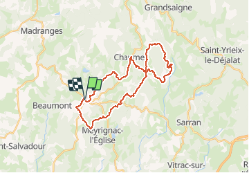
Trail Mountain bike of 31 km to be discovered at New Aquitaine, Corrèze, Saint-Augustin. This trail is proposed by maginot.
Description
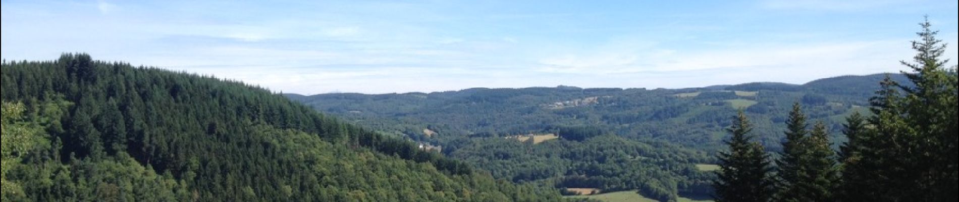
Temps idéal avec sous bois .Parcours pas trop difficile au début .Monte longue au dessus de Chaumeil tours du Puy descente sur Lavialle et retour sur Chaumeil puis St Augustin
Photos


Positioning
Country:
France
Region :
New Aquitaine
Department/Province :
Corrèze
Municipality :
Saint-Augustin
Location:
Unknown
Start:(Dec)
Start:(UTM)
408900 ; 5030919 (31T) N.
Comments